
Made in France · Shipped across Europe
Heavy-duty, high-visibility ground control points (GCPs) for drone surveys and photogrammetry, in 60 × 60 cm and 1 × 1 m formats. Custom-printed with your company name, manufactured to order in France and delivered directly to your office or site anywhere in the EU and Switzerland.
Request a quote🎯
High-contrast checkerboard pattern for sharp, repeatable marking in Pix4D, Metashape, DJI Terra and similar software. The centre eyelet lets you set the target over an existing survey mark.
📐
Clearly detected up to 150 m AGL: built for high-altitude flights, large GSD and wide survey areas.
🏭
Sequential numbering included, starting from the number of your choice. Your name and phone number printed at no extra cost. Made to order in France.
🎒
About 700 g per target. Roll up a set of five and head out on foot, no pickup truck needed.
Each target carries your company name and phone number, so lost targets find their way back.
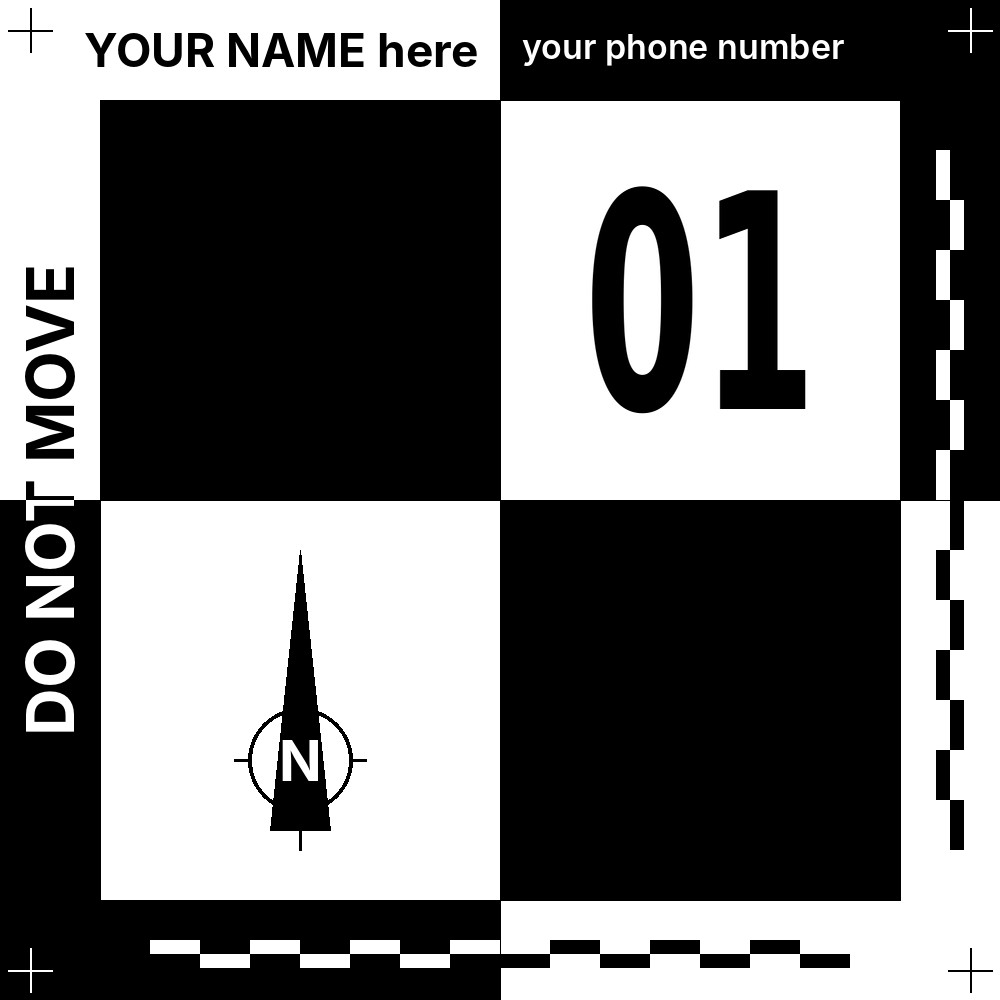
Black / White
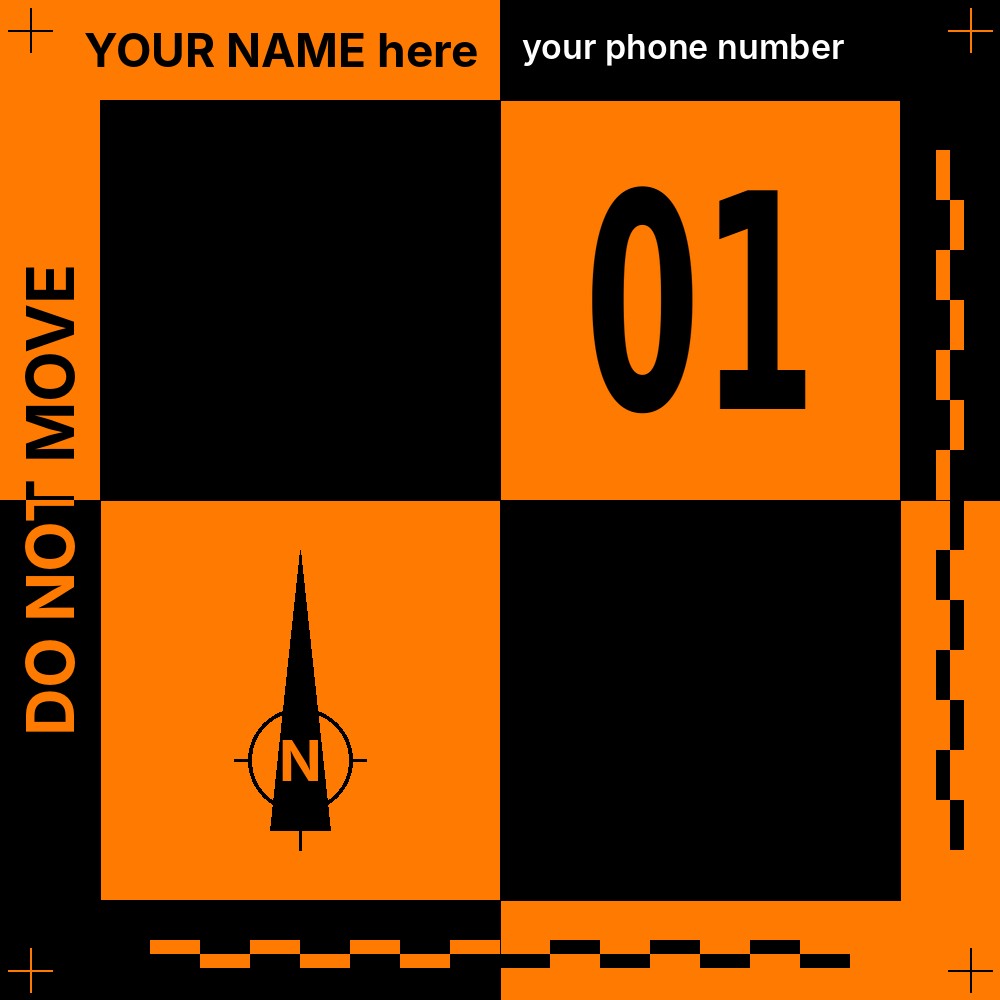
Black / Orange
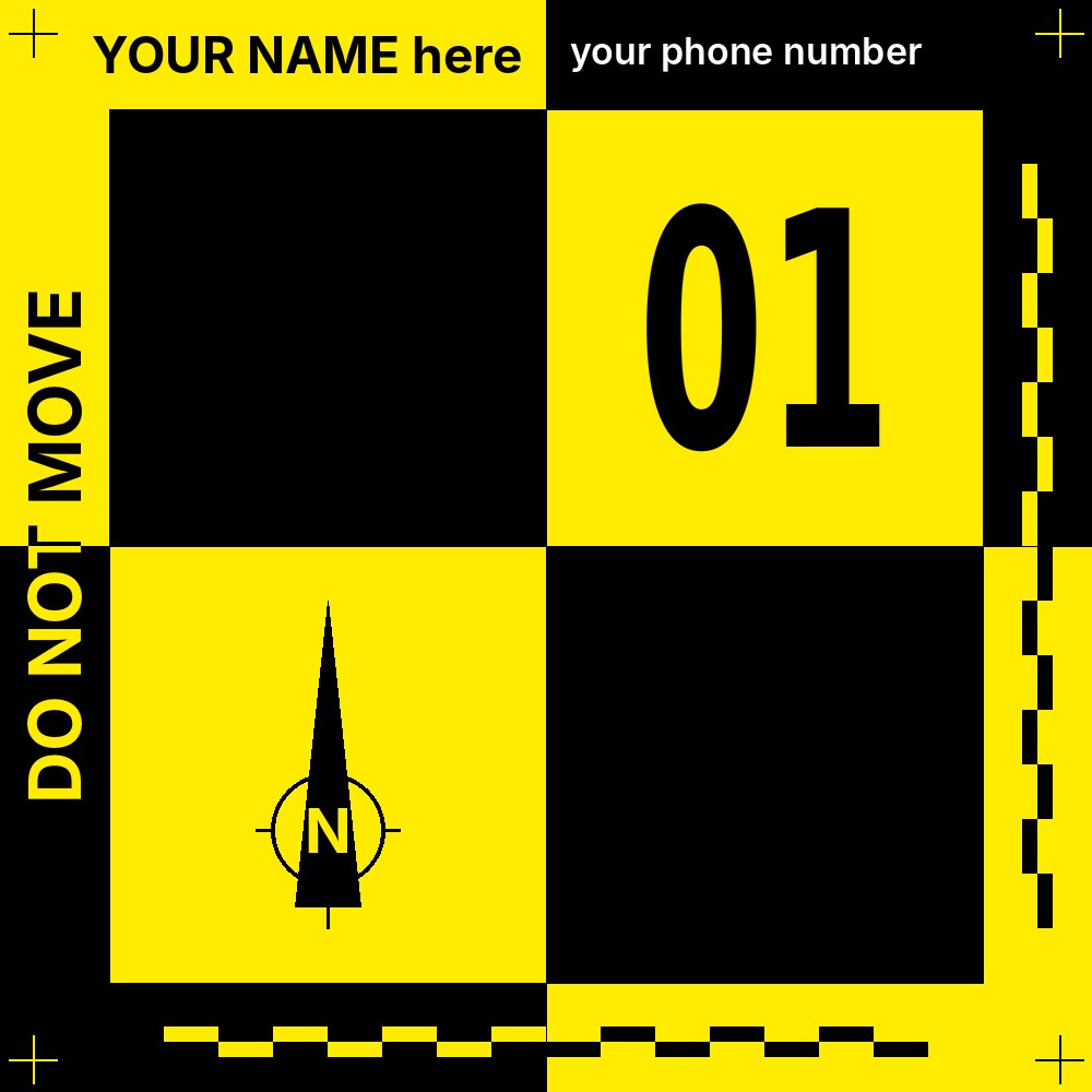
Black / Yellow
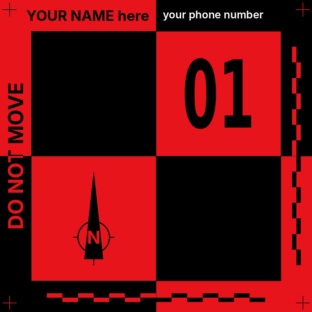
Black / Red
Quarry survey: stockpile volumes and site monitoring
GNSS survey of the target centre through the central eyelet
Numbered 1 × 1 m target: instant identification in your images
Waterproof tarpaulin: unaffected by rain and wet ground
1 × 1 m target clearly identified at 150 m above ground level (AGL)

| Material | Reinforced PVC tarpaulin, 640 g/m² |
| Formats | 60 × 60 cm (approx. 24 × 24 in) or 100 × 100 cm (approx. 39 × 39 in) |
| Colours | Black/white, black/orange, black/yellow, black/red |
| Printing | Durable, anti-glare UV printing |
| Centre pointing | 1 central eyelet for the GNSS pole tip |
| Anchoring | 4 corner eyelets for pegs or nails |
| Numbering | Included as standard, in sequence. Choose your starting number (e.g. 20 to 29) to extend an existing set. |
| Customisation | Company name + phone number included, free of charge |
| Sets | 5, 10, 20, 30, 40 or 50 targets |
| Compatibility | RTK, PPK and GNSS workflows: DJI, Emlid, Leica, Trimble and more |

60 × 60 cm target as seen from 80 m AGL
| Use case | Recommended size | Why |
|---|---|---|
| Roofs, houses, small buildings | 60 × 60 cm | Ample for low to medium altitude flights, quick to carry and lay out. |
| Urban sites, small earthworks, façade surveys | 60 × 60 cm | Compact format for confined areas where targets are moved often. |
| Small agricultural plots | 60 × 60 cm | Good detection over limited areas, including with compact drones. |
| Quarries, mines, landfills, stockpile volumes | 1 × 1 m | Stays visible across very large sites and high-altitude flights. |
| Large earthworks, road projects | 1 × 1 m | Control points remain identifiable over long distances. |
| Large agricultural fields | 1 × 1 m | Better visibility from higher flights over wide areas. |
| Large-area mapping, logistics platforms, heritage sites | 1 × 1 m | Improves automatic target detection on orthomosaics and 3D models. |
1. Quote
Tell us the size, colour, quantity, starting number, custom text and delivery country. You receive a quote including shipping.
2. Proof
Once your order is confirmed, we check the print proof before production starts.
3. Production
Your targets are manufactured to order in France.
4. Delivery
Shipped by carrier directly to your business address, on working days during office hours.
Which countries do you deliver to?
We ship directly to businesses throughout the European Union and to Switzerland. Shipping cost and lead time for your country are stated in your quote.
How is VAT handled for EU businesses?
Businesses with a valid EU VAT number are invoiced without French VAT under the reverse-charge mechanism. Please include your VAT number in your quote request.
What about deliveries to Switzerland?
Import duties and local taxes are payable by the recipient upon delivery.
Can I have the targets delivered to a pickup point?
No. Delivery is made to a business address (office, agency or site with reception). Please provide a contact phone number for the person receiving the parcel.
Are the targets suitable for RTK and PPK drones?
Yes. Ground control points remain the reference for verifying and constraining absolute accuracy, whether your drone uses RTK, PPK or neither. The central eyelet allows precise survey of the target centre with any GNSS receiver.
How many targets do I need for a drone survey?
Most UAV mapping projects use 5 to 10 ground control points spread evenly across the site, including the edges. Add a few extra targets as independent checkpoints to measure the absolute accuracy of your orthomosaic or point cloud.
Are the targets numbered?
Yes, every target is numbered in sequence as standard. You choose the starting number: if you already own targets 1 to 19, order a set starting at 20 and your GCP labels stay unique across all your surveys.
Which colour should I choose?
Black and white is the most versatile option. Orange, yellow or red can help on very bright ground, or to tell teams apart when several crews work on the same site.
Fill in the form below: we reply by email with a detailed quote including delivery to your country.


